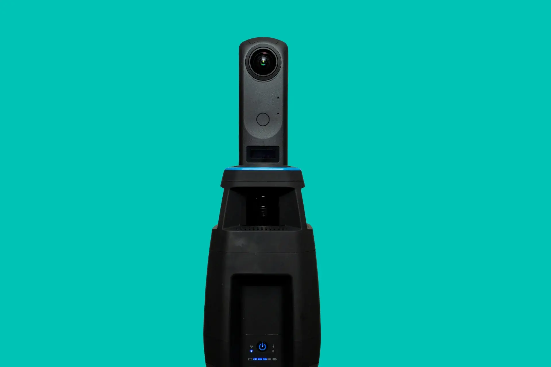
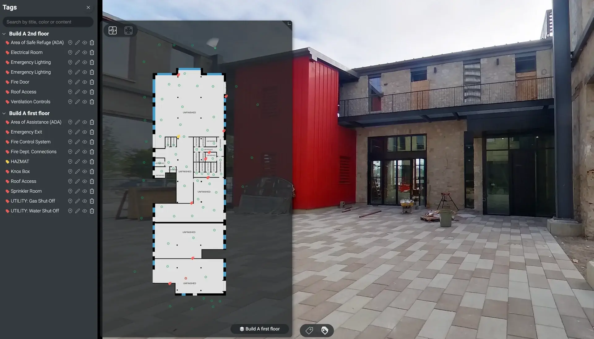
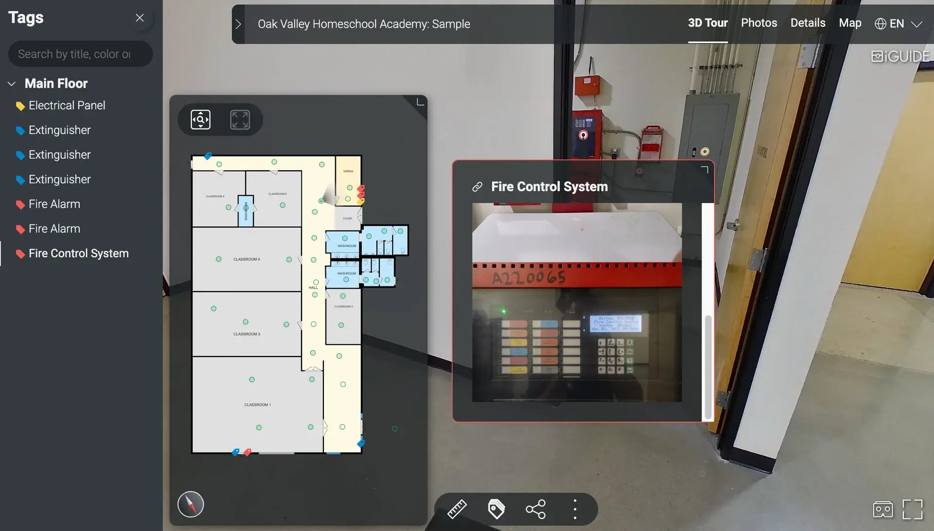
SearchScape3D is a proprietary emergency mapping system developed by Bright Photoworks. We capture your school or facility in 3D, then tag the assets first responders need most, so they can see the layout of a building before they walk through the door.
Every map works online or offline and can be shared with district offices, local agencies and emergency go bags.
Included Features
Standard Emergency Tagging
Every SearchScape3D map includes color-coded tags for the most important emergency assets on your site, plus embedded 360° imagery so first responders can see the permanent layout of each space.
Alarm Control
Fire Control
Utility Shut-Offs
Knox Box
Access & Egress
Fire Department Connections (FDC)
Roof Access
HAZMAT Areas
Your Lifeline in an Emergency
When every second counts, first responders need to know what is on the other side of the door. SearchScape3D gives them an accurate 3D view of your building with water, gas and electrical shut-offs already tagged, so they can make faster, better informed decisions.
Key Features
Utility Tagging. Locate and visualize essential utilities instantly. Facility Mapping. Accurate 3D representations of your school or building layout. Offline Access. Copies for emergency kits, district offices, admin go bags and local agencies. Rapid Response. Faster, more effective emergency management.
Why It Matters
“The need for accurate maps of indoor environments is critical in schools and communities for first responders’ navigation and tracking systems. When responding to emergencies, saving time and increasing the speed of determining the layouts of structures enables first responders to make informed decisions before entering a building.”
Kathryn Coulte, Science and Technology, U.S. Department of Homeland Security
Ready to Map Your Site?
See how a SearchScape3D preparedness plan can support emergency services at your school or facility. Email us at projects@brightphoto.works or call 909.499.6908.